
Products are selected by our editors, we may earn commission from links on this page.
Researchers at the Brown Institute for Media Innovation and the Princeton Program on Science and Global Security developed a project called Under the Nuclear Cloud. The map visualizes how radioactive fallout could move across North America following attacks on U.S. nuclear missile silos.
The simulation uses computer models that combine historical weather data, wind patterns, and rainfall across the continent. These factors determine how radioactive particles would travel through the atmosphere and settle on the ground.
By running hundreds of scenarios, the researchers created an average risk map showing where radiation exposure would likely concentrate. The goal is to help the public understand that nuclear war would affect regions far beyond the original targets.
U.S. Missile Silos could Become Primary Targets in a Conflict
The simulation focuses on land based nuclear missile facilities that the United States plans to maintain for decades. According to public military planning documents, new Sentinel intercontinental ballistic missiles will be deployed in underground silos across several states.
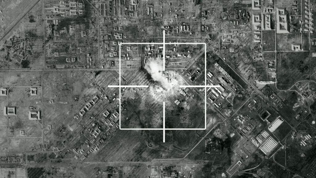
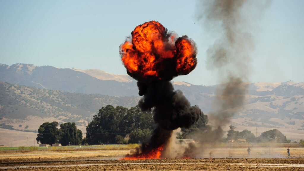
Because these silos hold strategic weapons, they would likely be among the first targets in a nuclear exchange. Destroying them could trigger massive explosions that send radioactive debris high into the atmosphere.
Once airborne, that debris would drift with prevailing winds. Communities hundreds or even thousands of miles away could experience fallout depending on weather conditions at the time of the attack.
The Map Shows How Radiation Exposure could Spread Across Communities
The Under the Nuclear Cloud visualization uses a color gradient to represent estimated radiation exposure levels after four days. Darker colors indicate areas where radiation doses could reach lethal levels for people outdoors.
According to the researchers, communities located closest to missile silos could receive doses exceeding eight grays of radiation. Scientists consider that level potentially fatal due to acute radiation syndrome.
Other regions farther away might still experience dangerous exposure. Even lower levels could cause illness, long term health complications, or environmental contamination affecting agriculture and water supplies.
The Project highlights How Nuclear War would Affect Far More than Target Sites

One of the most striking insights from the simulation is how widely fallout could spread across North America. Wind patterns could carry radioactive material across large portions of the United States and even into Canada.
The model also shows that rainfall could intensify the danger in certain regions. When radioactive particles mix with precipitation, they fall to the ground more quickly and create concentrated zones of contamination.
By visualizing these possibilities, scientists hope to illustrate the broader consequences of nuclear conflict. The research underscores that the risks would extend far beyond military bases, potentially affecting millions of civilians across the continent.