
Products are selected by our editors, we may earn commission from links on this page.
California is currently experiencing a massive atmospheric phenomenon that has transformed the state’s geography into a vast, white sea. This dense layer of vapor, which has settled over the landscape for several weeks, presents a striking visual contrast to the typical golden California sun. While the aesthetic is remarkable, the practical implications for those living within the valley and the surrounding coastal regions are significant, affecting everything from daily commutes to the long-term health of local ecosystems.
A Massive Veil Over the Golden State
The vast landscape of the Central Valley is currently submerged under a thick, persistent layer of vapor that spans nearly 400 miles. This atmospheric blanket reaches from Redding in the northern reaches of the state down to Bakersfield in the south, creating a visual disconnect between the ground and the sky. Since the final weeks of November, this phenomenon has remained a constant fixture of the region, transforming the familiar golden hills into a sea of white that shows little interest in dissipating.
Demystifying the Science of Radiation Fog
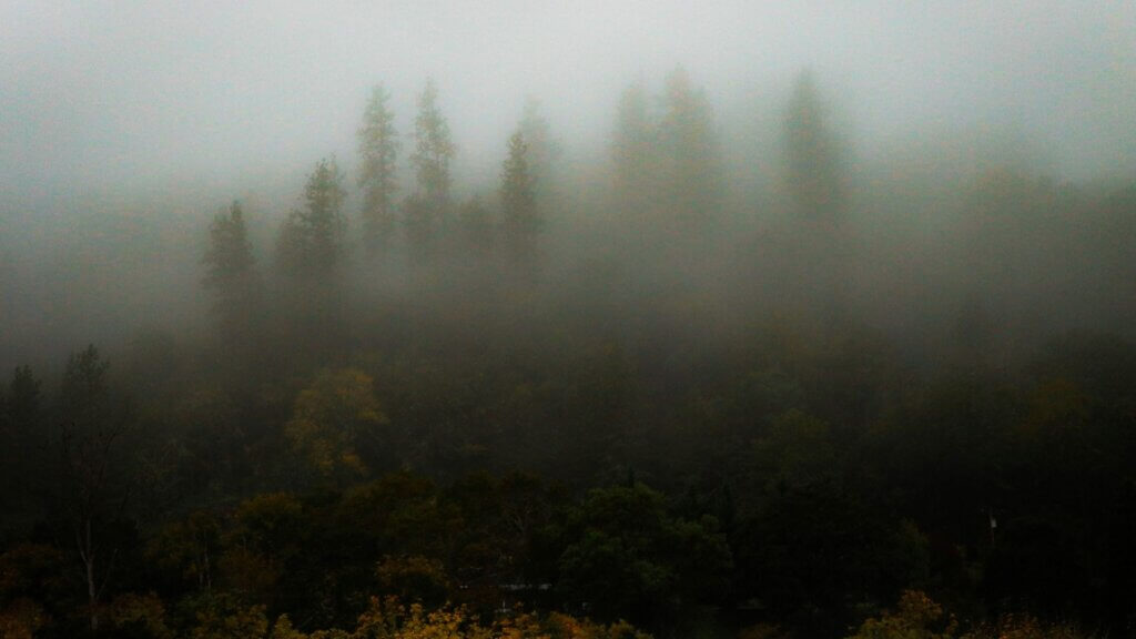
Despite the technical name sounding somewhat intimidating, radiation fog has nothing to do with nuclear energy or hazardous materials. Instead, the term refers to the process of thermal radiation, where the ground loses heat rapidly after the sun sets. As the surface cools, the moisture in the air directly above it condenses into a low-lying cloud. This specific cooling mechanism is a hallmark of calm, clear nights where the earth breathes out its warmth and leaves behind a heavy, grounded mist.
The Legacy of the Tule Mist

In California, this particular weather event is frequently referred to as tule fog, a name derived from the resilient reeds that populate the state’s indigenous wetlands. These marshes provide the necessary humidity that fuels the development of such dense clouds. While the name is local, the impact is widespread, defining the winter season for the agricultural heartland. It represents a unique intersection of geography and climate that has shaped the history of the valley for generations.
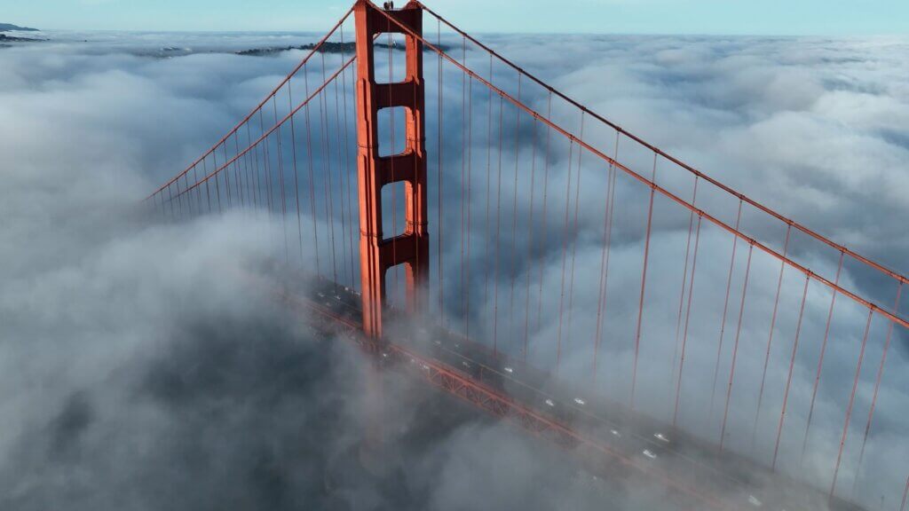
Views from Above the Clouds
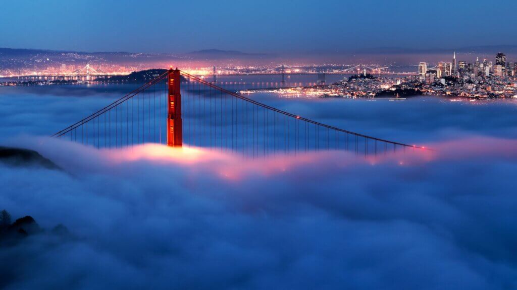
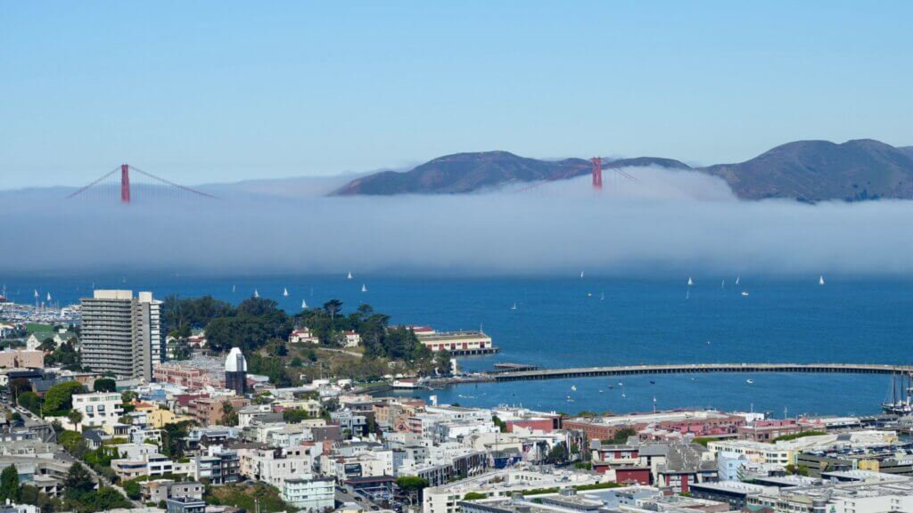
The sheer scale of this event has been captured vividly by modern technology, with satellite imagery from NASA and NOAA providing a bird’s eye perspective of the coverage. These images reveal a solid white mass that fills the valley like water in a basin, occasionally overflowing through the Carquinez Strait and drifting toward the San Francisco Bay. Such data allows meteorologists to track the density and movement of the haze, highlighting how it interacts with the complex topography of the coastal ranges.
The Influence of a Record Breaking Autumn
The intensity of this year’s fog can be traced back to an exceptionally wet autumn. The record-setting rainfall levels experienced earlier in the season saturated the soil, providing an abundant reservoir of moisture. When the temperatures began to drop in late November, the damp earth became the perfect engine for fog production. Without this prior infusion of water, the current atmospheric conditions likely would have been far less severe and much more fleeting.
Mapping the Reach of the Haze
More than twenty counties are currently navigating the effects of this 400-mile stretch of vapor. While the Central Valley is the primary theater for this event, the influence of the stagnant air extends toward urban centers and coastal outlets. The geography of the region acts as a natural container, trapping the cool, moist air between the Sierra Nevada and the Coastal Ranges, which prevents the mist from being easily swept away by light breezes.
Invisible Risks to Public Health

Beyond the issues of visibility, this weather pattern brings significant concerns regarding air quality and respiratory health. Because the air is stagnant, pollutants and particulates become trapped near the ground instead of being dispersed into the upper atmosphere. This creates a smog-like effect that can irritate the lungs and complicate existing health conditions. Residents are often advised to monitor air quality indices closely during these periods, as the stillness of the air allows irritants to accumulate to uncomfortable levels.
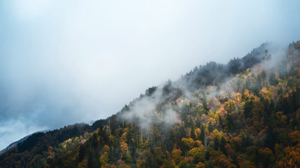
A Silent Guardian for California Agriculture
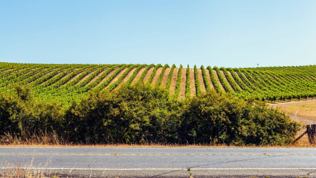
There is a silver lining to this heavy mist, particularly for the state’s vital fruit and nut industries. The presence of the fog provides a cooling shield that protects sensitive buds from the intensity of the winter sun, facilitating the necessary period of dormancy for many trees. By keeping temperatures consistent and low, the fog ensures that crops like almonds and walnuts can rest properly before the spring bloom, making it a crucial, though frustrating, partner in the agricultural cycle.
Safety Concerns on the Open Road
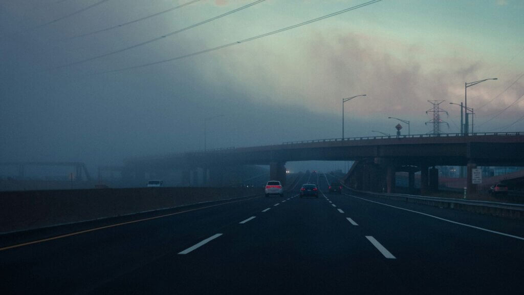
For commuters and long-haul drivers, the presence of such dense vapor presents a formidable challenge. Visibility can drop to near zero within a matter of yards, making highway travel a precarious endeavor. Historically, these conditions have been responsible for significant traffic incidents throughout the valley. Even when the fog appears thin at eye level, patches of extreme density can appear without warning, requiring motorists to exercise extreme caution and reduce their speeds significantly.
Waiting for the Atmosphere to Shift

The persistence of this fog is a result of a stable atmosphere that lacks the energy to move the heavy air. For the skies to clear, a significant weather system must move through the region to mix the different layers of the atmosphere. Until a strong cold front or a vigorous wind event arrives to break the stagnation, the residents of the valley and surrounding areas will likely remain under this silver canopy, waiting for the return of the California sun.