Products are selected by our editors, we may earn commission from links on this page.
New scientific studies and emergency planning reports have renewed concerns about the risk of a devastating tsunami striking parts of Alaska, Hawaii, and the U.S. West Coast. Researchers studying the Cascadia Subduction Zone warned that a major earthquake along the fault could generate destructive tsunami waves, trigger widespread coastal flooding, and permanently reshape parts of the Pacific coastline within minutes.
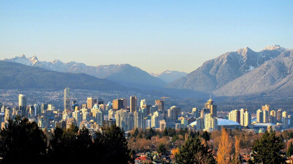
The Cascadia Fault Runs Across The Pacific Northwest
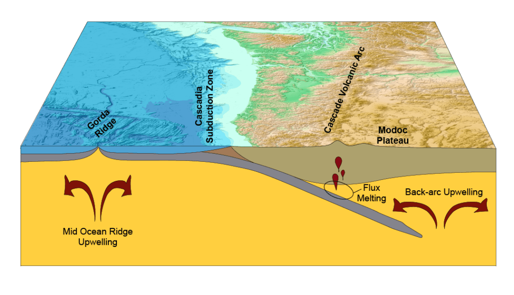
The growing concern centers on the Cascadia Subduction Zone, a 600-mile fault line stretching from northern Vancouver Island to northern California. The fault forms where the Juan de Fuca Plate slides beneath the North American Plate, creating pressure that can build for centuries before releasing in a massive earthquake. Scientists believe the region is capable of producing earthquakes with magnitudes exceeding 9.0, placing it among the most dangerous seismic zones on Earth.
Researchers Say Another Major Quake Is Possible
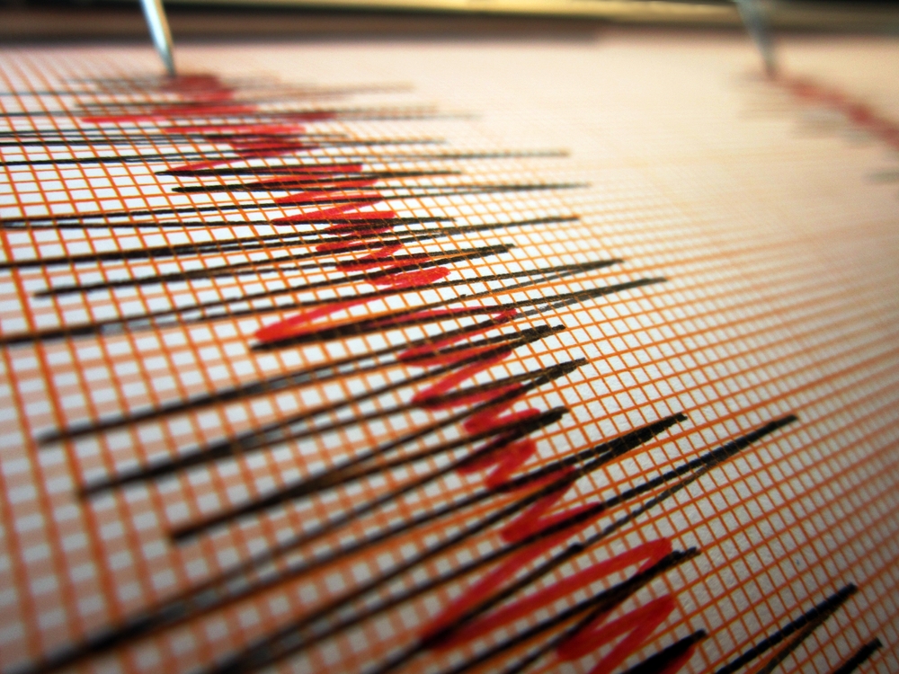
According to research cited by Virginia Tech scientists and federal hazard models, there is roughly a 15% chance of a magnitude 8.0 or larger earthquake occurring along the Cascadia margin within the next 50 years. The last known megathrust earthquake in the region struck on January 26, 1700, generating a tsunami powerful enough to reach Japan. Geological evidence, Native American oral histories, and Japanese records have helped researchers reconstruct the scale of that event.
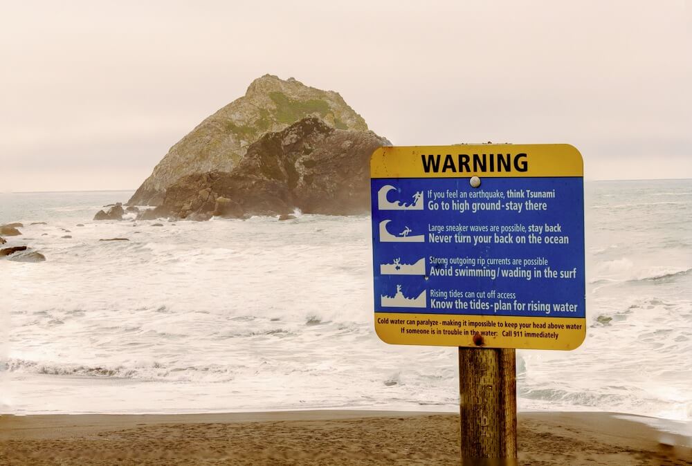
The Biggest Danger Would Begin Offshore
Tsunamis form when underwater earthquakes suddenly displace the seafloor and push enormous volumes of ocean water outward. The U.S. Geological Survey notes that shallow marine thrust earthquakes are especially capable of generating destructive tsunamis. Scientists warn that a Cascadia rupture could send tsunami waves racing toward coastal communities within minutes, leaving limited evacuation time for many residents along the Pacific Northwest shoreline.
Some Reports Focused On “Mega Tsunami” Scenarios
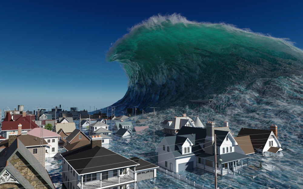
Recent headlines drew widespread attention by describing possible “mega tsunami” scenarios involving waves reaching hundreds of feet in height. Some reports cited historic Hawaiian volcanic collapses and landslides that may once have produced waves approaching 1,000 feet on parts of Lanai. Researchers stressed, however, that tsunami impacts vary dramatically depending on geography, underwater landslides, coastal shape, and the type of triggering event. The most immediate Cascadia concerns involve tsunami waves closer to 80 to 100 feet along parts of the Pacific Northwest coast.
Scientists Are Increasingly Focused On Land Subsidence
One of the most alarming findings in the recent research involves what happens after the tsunami arrives. Scientists found that parts of the Pacific Northwest coast could suddenly sink by more than six feet during a major Cascadia earthquake. That land subsidence could dramatically expand flood zones across Washington, Oregon, and northern California, creating long-term coastal flooding problems even after tsunami waters recede. Researchers estimated floodplain exposure could more than double in some communities.
Modern Infrastructure Could Face Enormous Damage
Unlike the year 1700, the Pacific Northwest coastline is now heavily developed with airports, schools, hospitals, wastewater facilities, highways, ports, and energy infrastructure. FEMA planning exercises estimated a major Cascadia earthquake and tsunami could damage or destroy more than 618,000 buildings and cause billions of dollars in economic losses. Researchers warned that flooded roads, submerged emergency centers, contaminated industrial sites, and damaged utilities could slow recovery for years.
Alaska And Hawaii Face Separate Risks
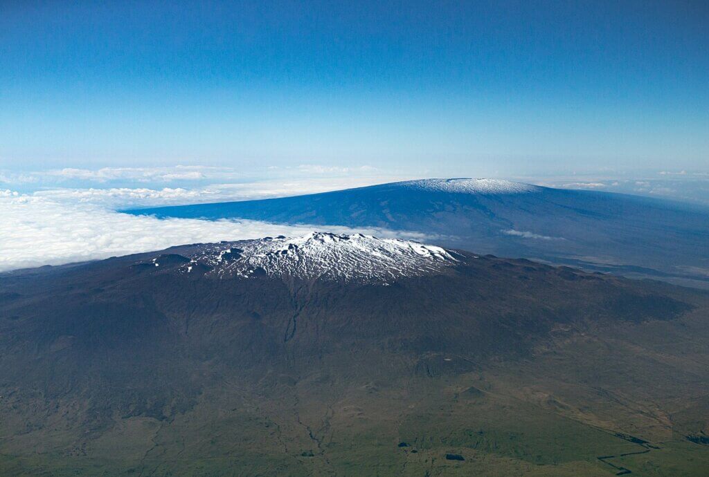
Although the Cascadia fault receives most attention, Alaska and Hawaii face their own tsunami dangers because of their unique geology. Alaska’s frequent earthquakes, unstable slopes, and glacier-related landslides make it highly vulnerable to tsunami generation. Hawaii faces additional risks from volcanic collapses and undersea landslides associated with active volcanoes such as Mauna Loa and Kilauea. The USGS notes that Hawaii has already experienced several deadly tsunamis, including a 1946 event that killed 159 people.
Warning Systems Already Exist Across The United States
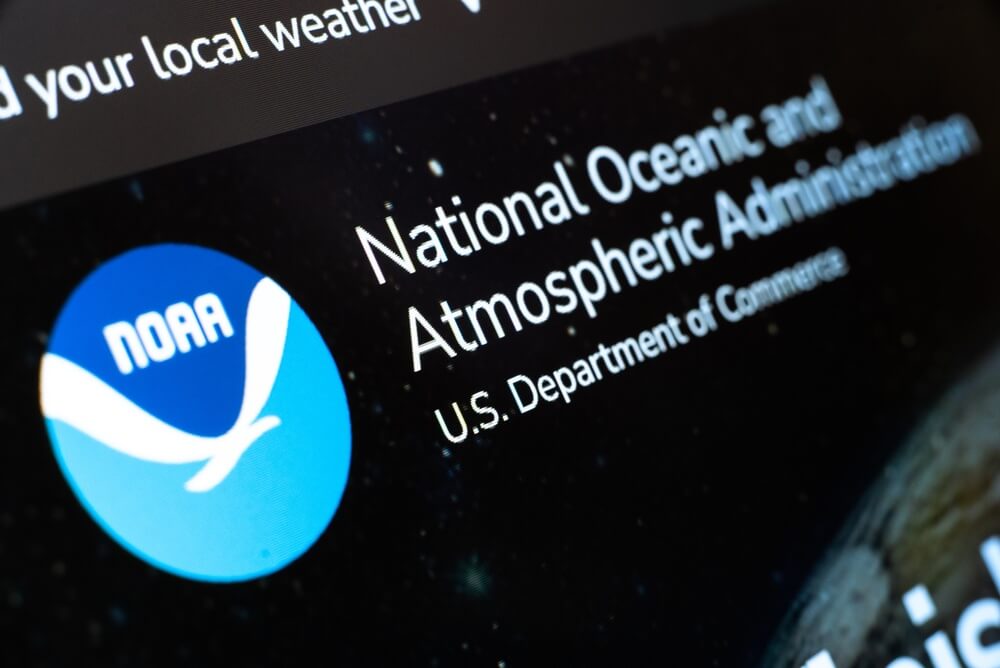
Federal agencies have spent decades building tsunami monitoring and alert systems designed to provide rapid warnings after major earthquakes occur. NOAA operates U.S. Tsunami Warning Centers in coordination with USGS seismic networks, issuing alerts when earthquakes meet tsunami-generating criteria. Coastal communities throughout Alaska, Hawaii, California, Oregon, and Washington also conduct evacuation drills and maintain marked tsunami evacuation routes intended to move residents to higher ground quickly after strong shaking begins.
Scientists Say Preparation Matters More Than Panic

Researchers emphasize that the recent studies are not predictions that a tsunami is imminent. Instead, they are attempts to better understand long-term risks in one of the world’s most dangerous seismic regions. Scientists say the goal is to improve building standards, emergency planning, flood mapping, evacuation systems, and public awareness before a disaster eventually occurs. As Virginia Tech researcher Tina Dura told BBC Science Focus, the challenge is helping coastal communities prepare seriously for rare but catastrophic events without creating unnecessary panic.