


Products are selected by our editors, we may earn commission from links on this page.
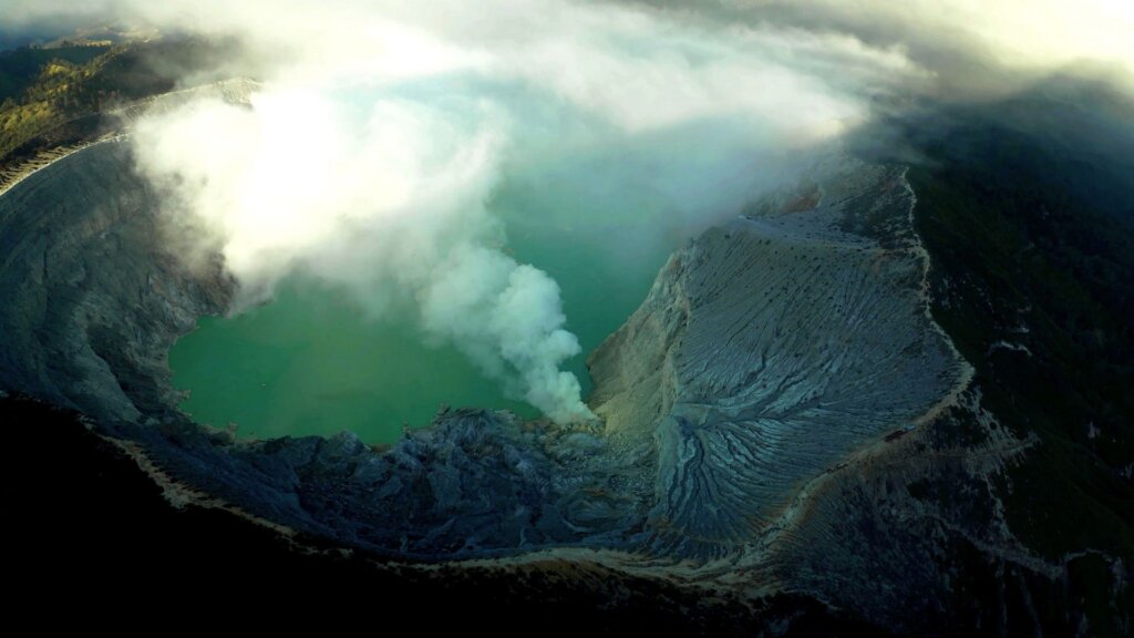
An underwater volcano deep beneath the Pacific Ocean has caught the attention of scientists around the world. Using multiple Earth-observing satellites, researchers are following an unusual eruption unfolding beneath the waters north of Papua New Guinea. The event could eventually create a brand-new island, offering experts a rare chance to witness one of nature’s most fascinating geological processes in real time.
Hidden Volcano Awakens Beneath the Bismarck Sea
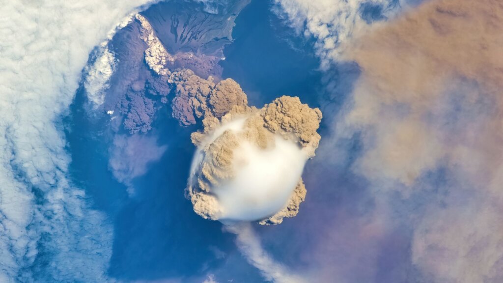
The eruption is taking place in the Central Bismarck Sea, north of Papua New Guinea, an area where much of the ocean floor remains poorly mapped. Although scientists have produced highly detailed maps of the Moon and Mars, large parts of Earth’s deep seafloor are still largely unexplored. This region contains underwater faults, volcanic ridges, subduction zones, and other complex geological features that are difficult to study because they lie hundreds of meters below the surface.
Satellites Detect the First Signs of Activity
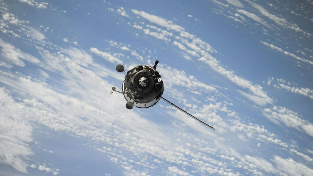
On May 8, 2026, seismometers recorded a small series of earthquakes that suggested volcanic activity beneath the ocean. Within hours, satellites confirmed the event. NASA’s Aqua and Terra satellites captured bright white, steam-filled plumes rising from the sea, while the agency’s PACE satellite detected large areas of discolored water surrounding the eruption site, providing clear evidence that magma had reached shallow depths.
Scientists Still Don’t Know Which Volcano Is Erupting
Researchers believe the eruption is occurring along Titan Ridge, roughly 16 kilometers, or 10 miles, southeast of another submarine eruption documented in 1972. Even so, scientists have not yet identified the exact volcanic vent responsible. They also do not know how deep the vent was before the eruption began or when it last became active, largely because detailed maps of the area do not yet exist.
Multiple Satellites Capture the Eruption From Space
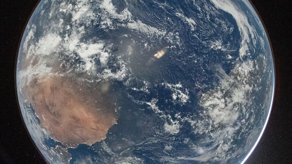
Several Earth-observing satellites have continued monitoring the event from orbit. Images collected by the European Space Agency’s Sentinel-2 satellite and NASA and USGS Landsat 9 revealed activity close to the ocean’s surface. Infrared observations highlighted intense heat, while the VIIRS instrument aboard Suomi NPP detected thermal anomalies covering approximately seven square kilometers, indicating that extremely hot volcanic material is sitting near the surface.
Evidence Suggests the Magma Is Surprisingly Shallow
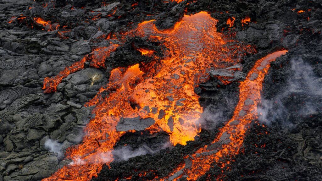
According to volcanologist Simon Carn of Michigan Technological University, the widespread heat signatures point to a relatively shallow eruption. Existing bathymetric maps indicate water depths of several hundred meters, yet the amount of thermal energy visible from space suggests the volcanic vent may be much closer to the surface than previously believed. That difference could reshape scientists’ understanding of this part of the seafloor.
Floating Volcanic Rock Covers the Ocean
Satellite imagery has also revealed extensive pumice rafts drifting across the ocean. These floating volcanic rocks have formed long streaks carried by surface currents, while broad areas of discolored water and numerous steam vents continue to mark the active eruption zone. Government satellites and commercial imaging systems have captured these changing conditions in remarkable detail.
A Brand-New Island Could Soon Rise Above the Sea
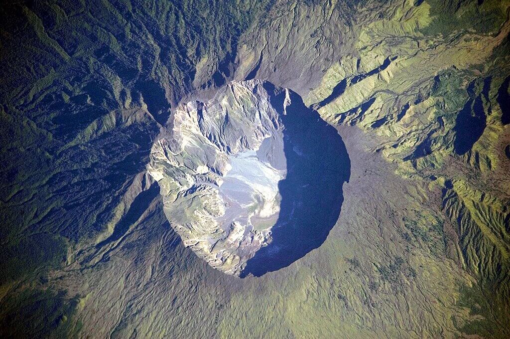
Scientists are closely watching to see whether the eruption produces new land above the ocean surface. If enough volcanic material continues to accumulate, a small island could emerge, potentially developing into a tuff cone with a central crater. However, the new land could also erode quickly or collapse back into the sea. Researchers are also monitoring whether seawater reaches the magma chamber, a process that could trigger stronger explosive activity.
Experts Believe the Risk of a Massive Explosion Is Low
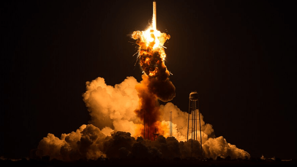
Although the eruption remains active, scientists say it appears far less explosive than recent submarine eruptions such as Hunga Tonga Hunga Ha’apai in 2022 and Fukutoku Okanoba in 2021. Carn explained that the volcano is associated with a spreading ridge near a transform fault, a geological settings that typically produce gentler eruptions compared with the violent explosions often linked to large subduction-zone volcanoes.
No One Knows How Long the Eruption Will Continue

Researchers cannot yet predict how long this volcanic event will last. A nearby submarine eruption recorded in 1972 ended after only four days, while another eruption in the St. Andrew Strait, about 100 kilometers away, continued for nearly four years. Those examples highlight how dramatically the lifespan of underwater eruptions can vary.
A Rare Opportunity to Study the Birth of an Island

NASA Chief Scientist Jim Garvin and other researchers plan to use radar observations from the NISAR satellite and the Canadian Space Agency’s RADARSAT Constellation Mission to track any new land that forms. If a lasting island emerges, scientists hope to study how rainfall, erosion, chemical weathering, plants, and animals gradually transform the landscape. Garvin believes this rare event could provide valuable insights into how young islands develop, knowledge that may also support future planetary exploration as NASA prepares for upcoming Artemis missions.